Milo Kasparek
Aerial photography and mapping
Detailed maps and point clouds for site planning, measurements and progress records.
Drone in flight
How do photos become 3D?
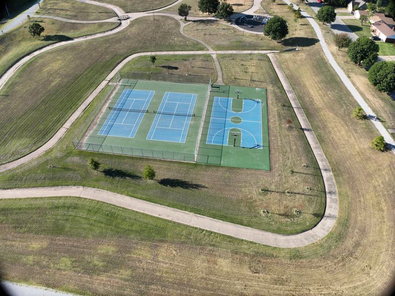
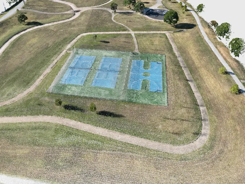
Photographs can tell us how tall a tree is or how steep a path is. The key is seeing the same place from more than one position.
How much sand would fill this?
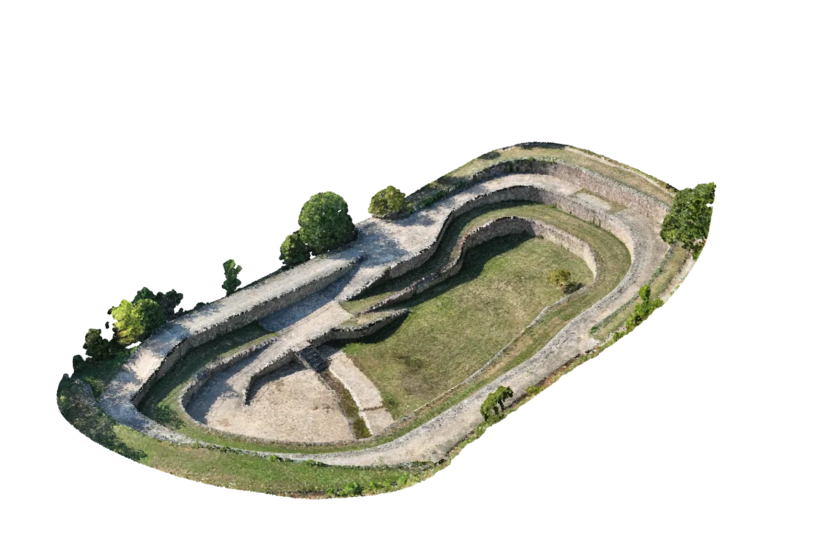
Uneven ground makes volume hard to judge by eye. Measurements from aerial photographs can help estimate deliveries, excavations and stockpiles.
Projects
Have something in mind?
Tell me about your project and what you’re looking for. I can help you get data for Trimble, Civil 3D or other design and mapping software.
Milo Kasparek milo.kasparek@gmail.comNortheast Oklahoma